
Credible Theories Sign in

The record

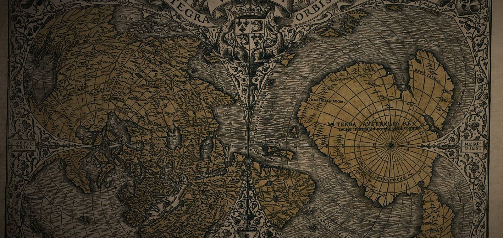
What the map shows. Oronce Fine, known in Latin as Orontius Finaeus, was a French mathematician who, the Library of Congress notes, was appointed to the chair of mathematics at the Collège Royal in Paris in 1531. That year he printed a world map, Nova, et integra universi orbis descriptio, drawn as two heart-shaped halves, one around each pole. The Library of Congress copy is hand-colored and measures 29 by 42 centimeters. Around the South Pole sits a huge continent marked TERRA AUSTRALIS, with the Antarctic Circle drawn across it, reaching up toward South America. The Library calls the map the earliest known map on which the name Terra australis appears.

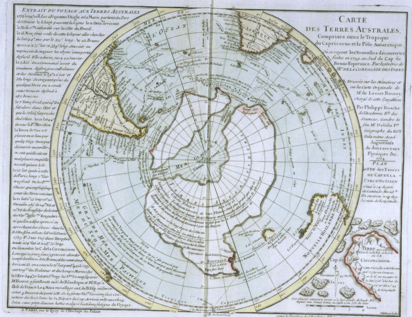
What was claimed. Charles Hapgood came to the Library of Congress over the Christmas recess of 1959-1960 to look for old maps that might show Antarctica. Turning a page, he wrote, he sat transfixed: I had the instant conviction that I had found here a truly authentic map of the real Antarctica. In Maps of the Ancient Sea Kings (1966) he argued that Fine had copied a far older source. Where the Ross Sea now meets great glaciers, he wrote, fiord-like estuaries are seen, along with broad inlets and indications of rivers. His team matched 50 points on the map to modern positions, and Hapgood said The mathematical probability against this being accidental was "astronomical". He concluded that parts of Antarctica were mapped when they were free of ice.

What the record shows. The Library of Congress record explains that Ancient geographers had speculated about the existence of a southern continent and that The existence of Antarctica was not definitively proven until the 19th century. Fine's own 1534 world map shows the same vast Terra Australis, a hypothetical continent that geographers posited had to exist to counterbalance the weight of the northern land masses, in the words of the record for that map. The ice that Fine's coast would have to predate began forming about 34 million years ago; the 2025 Bedmap3 survey measures it at an average of 1,948 meters thick.
Questions people ask about The Oronteus Finaeus map of 1531

Who was Oronteus Finaeus?

Oronteus Finaeus is the Latin name of Oronce Fine (1494-1555), born in Briançon, France. He trained as a medical doctor at the University of Paris, held the chair of mathematics at the Collège Royal from 1531, and wrote on mathematics, astronomy and military fortifications.

Where can the 1531 map be seen?

The Library of Congress holds a hand-colored copy in its Geography and Map Division and shows it online in its catalog. It is the copy Charles Hapgood studied in the winter of 1959-1960.

Is the Oronteus Finaeus map the same as Fine's heart-shaped map of 1534?

No. The 1531 map splits the world into two heart-shaped halves around the poles. In 1534 Fine printed a single heart-shaped world map, now in the National Library of France, which also shows a large Terra Australis in the south.

The open question

Still strange: The southern continent of 1531.

A continent no one had seen appears on a printed map almost three centuries before Antarctica was proven to exist, and in the winter of 1959-1960 one reader saw in it Antarctica's coast without its ice.

Antarctica Without Ice: The Real Map and the Old Maps →
  1. Step 1 of 4 · This fileThe Oronteus Finaeus map of 1531
  2. Step 2 of 4 · Next fileAntarctica Without Ice: The Real Map and the Old Maps
  3. Step 3 of 4 · Next fileThe Piri Reis Map of 1513
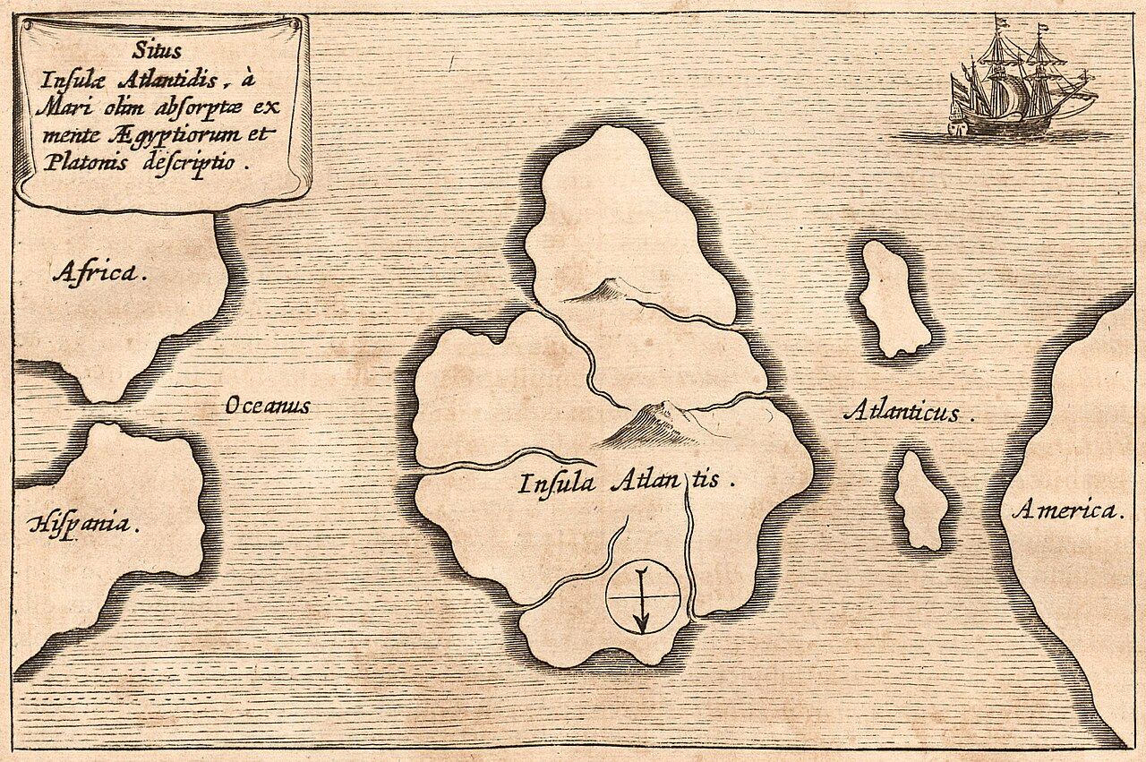
  4. Step 4 of 4 · Next fileAtlantis: Is Plato's Sunken Island Real or a Myth?
About these videos

Found by a YouTube search for this topic, not checked by us. The player loads from YouTube only when you press play.

Where this comes from

EvidenceDocumented

Comes from Library of Congress, Geography and Map Division, catalog record for Oronce Fine, Noua…. The national library of the United States in Washington, D.C., and one of the largest libraries in the world. Its catalog records describe the real books, maps and papers it holds, with dates, makers and notes by its librarians.

What this means

The map, its date and its maker are documented in the Library of Congress; that it copies a chart of ice-free Antarctica is Hapgood's 1966 claim.

For The Oronteus Finaeus map of 1531, the original record exists and is linked: Library of Congress, Geography and Map Division, catalog record for Oronce Fine, Noua…. That tells you the record is real and what it says. It does not mean every claim in it is true.

Primary records exist: an original document, a published text, an official file or a dated report. We link to them. This level says the record exists and what it says, not that every claim in it is true.

See all five labels

Sources

  1. Library of CongressThe national library of the United States in Washington, D.C., and one of the largest libraries in the world. Its catalog records describe the real books, maps and papers it holds, with dates, makers and notes by its librarians.Library of Congress, Geography and Map Division, catalog record for Oronce Fine, Noua, et integra uniuersi orbis descriptio ([Paris?], 1531), with the World Digital Library descriptionPrimary text
  2. Library of CongressLibrary of Congress, catalog record for Oronce Fine, Recens et integra orbis descriptio (Paris, 1534), National Library of France copy, with the World Digital Library descriptionPrimary text
  3. Internet ArchiveA nonprofit digital library in San Francisco, founded in 1996, that holds millions of scanned books, papers and recordings. A scan there shows the pages of a real printed book or document.Charles H. Hapgood, Maps of the Ancient Sea Kings: Evidence of Advanced Civilization in the Ice Age (Chilton Books, Philadelphia, 1966), chapter 4, "Oronteus Finaeus"Primary text
  4. AramcoWorld archiveThe online archive of AramcoWorld (earlier Aramco World), a magazine about the history and cultures of the Arab and Muslim worlds, published by the Aramco oil company since 1949. Its articles are written by named journalists and historians.Paul F. Hoye and Paul Lunde, "Piri Reis and the Hapgood Hypotheses", Aramco World 31, no. 1 (January/February 1980)
  5. A research articleAn article written by a researcher and published in a scholarly journal or book. Most such journals have other experts check a paper before it is printed, so it carries more weight than a news story, though later studies can still change the picture.Heidelberg University, "New Insights Into the Formation of the Antarctic Ice Sheet" (5 August 2024), on Klages and others, Science 385, no. 6706 (2024), pp. 322-327Primary text
  6. Newcastle UniversityA public research university in the north of England. Its press office publishes news of studies its own scientists took part in, naming the journal where the research appeared.Newcastle University Press Office, "New map of landscape beneath Antarctica unveiled" (13 March 2025), on the British Antarctic Survey's Bedmap3Primary text

Quotations come from public-domain translations. A book in our Library links to its Library page; other links open the free online copy or the reference page.

Updated

Credible or not?

Tap one to see how other readers voted.

Discussion